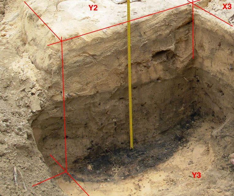
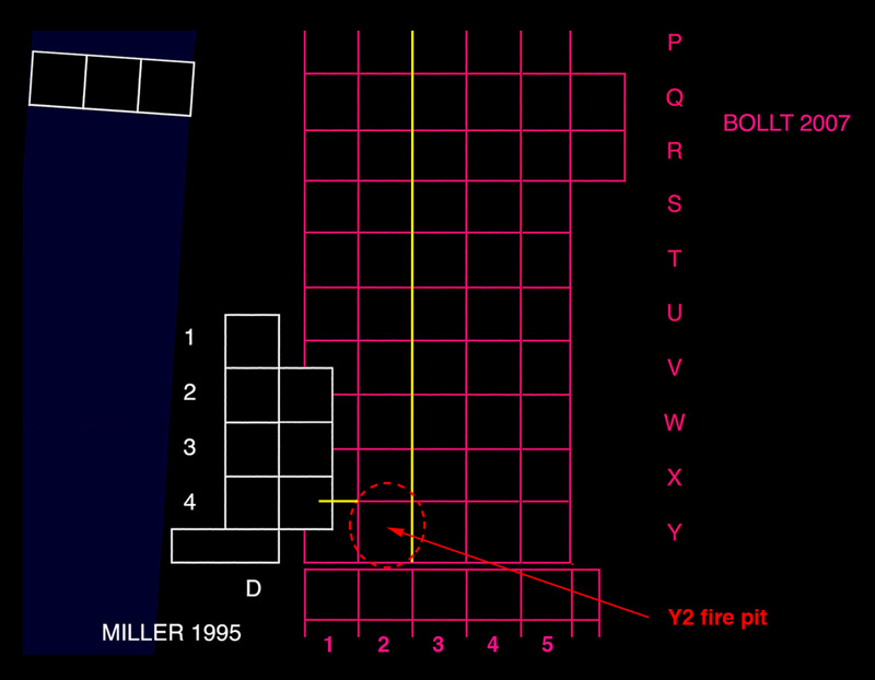
| On the previous page, I have outlined a general plan for layer designations, and noted the possibility of a layer below the Bollt layer "F" . At the end of the 1995 excavations an unusually deep fire pit was discovered in the "D' squares, this hearth was actually sitting on the coral hard-pan. By the end of the 2007 excavations we were finally approaching my old excavation of this area. at the bottom of square Y3 (shown above) the rim of a large fire pit extending under Y2 was plainly evident. This rim portion of the pit is clearly below or at the bottom of the last visible layer. It is important to note that the layers above this pit are intact and therefore the pit itself cannot be any sort of intrusion i.e. a hima pit coming from an upper layer. |
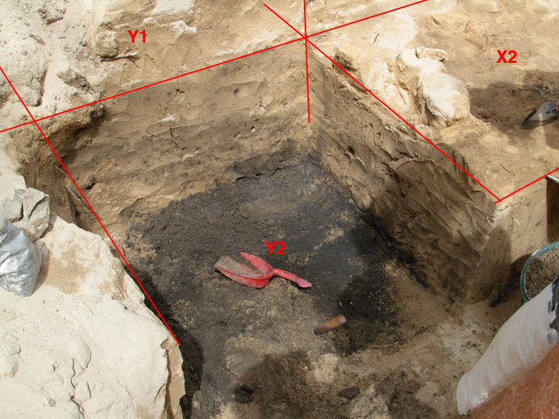
| I have included this photo of square Y2 showing the square excavated to the surface of the fire pit. Here the work is still in progress however we can see that the pit is below and/or sealed in by the upper layers. |
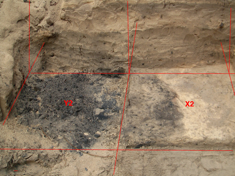
| Here we can see that square X2 has been excavated down to the top of the fire pit which extends halfway through this square. |

| The profile shown above has been made by pasting together photos taken of the squares when row 3 had been completed i.e. Y2 at the far left had not yet been excavated. I have outlined the layers so that it will be easier to see the separations and intrusions. The first important thing to note in this profile is the relatively stable depth pattern on the right and the rather abrupt change in this pattern on the left where we see the layers descending to their deepest level. It is here that we find the Y2 fire pit which is the lowest feature ever discovered at this site. Due to the unusually good weather this feature was above the water table but would often be below the water table. This poses some serious questions about the relative elevation of this location in the initial occupation period, at the moment the elevation of this hearth is very close to sea level (0.6 m 2007), if you removed all of the sand above this level as far as the beach, high tide waves would wash in to drown any fire in this area. Numerous sea level studies for Tubuai and the surrounding islands, have demonstrated that the sea level was actually higher (+0.7 m) 1000 years ago. This suggests that the Y2 hearth was actually at or a bit below the sea level of 800 to 1000 years ago, however if we suppose that there was an ancient raised beach ridge between the Y2 location and the shoreline, a fire pit in this area may still be possible. |
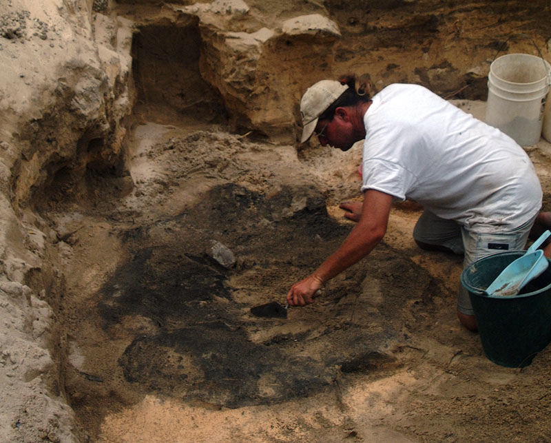
| The above photo was taken on the last day of the 2007 excavations, the remaining walls are backfill, and the Y2 pit has been fully exposed. After removing the last of the layer that was covering this thick black lens, samples were carefully extracted. About 90% of the pit material was left intact and covered over with a protective layer of foil and plywood. This was further covered with a thick layer of sand and the whole site was refilled the following day. |
| Go to Comparative Implementology | go to ATIAHARA.ORG |